Land Surveying:
Need an Aeriel Shot?
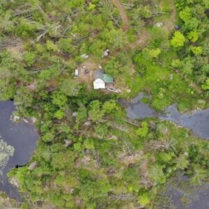
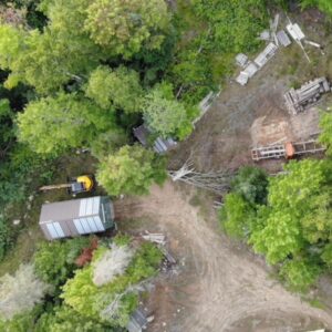
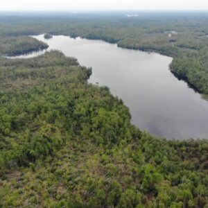
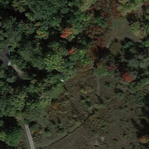
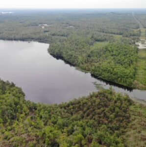
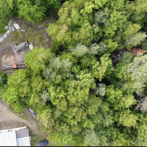
Land surveying is important for identifying the boundaries and characteristics of a property’s land. It involves measuring and mapping the land’s physical and topographical features. Our company specializes in land surveying services using drone technology, which allows us to capture detailed images of the land from above. This information is crucial for creating accurate maps and models of the property. Drone technology is faster and more cost-effective than traditional methods, reducing the need for personnel and equipment. We use drone aerial shots for various land surveying projects and ensure our pilots are licensed and certified for safety. Our goal is to provide accurate and efficient land surveying services for our clients.
Leave your contact info today!


We Services the GTA and include Ottawa Area, Belleville, Kingston, Peterborough, Algonquin Region, Kitchener/Waterloo, London, Erie, Niagara, Hamilton and surrounding Areas!
